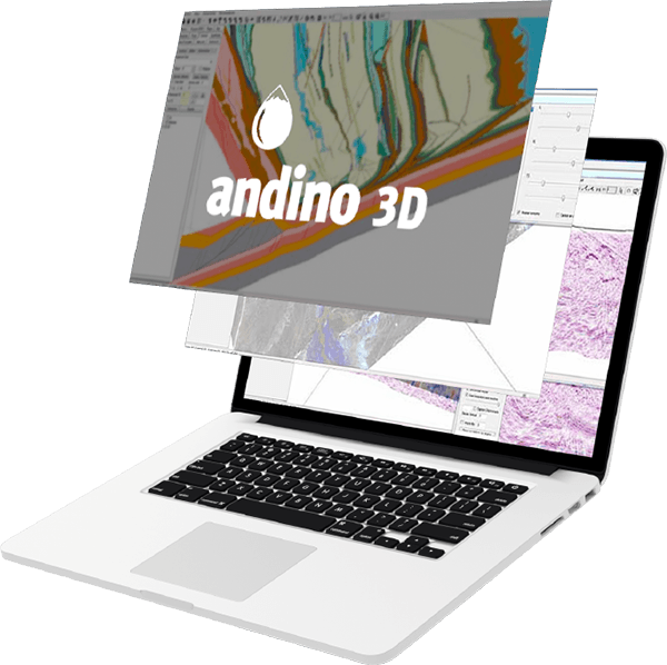
Andino 3D is a structural modeling software that allows the integration of all the information available in your company or area of interest in a three-dimensional environment.
A tool that allows the integration of mixed geological and geophysical information.
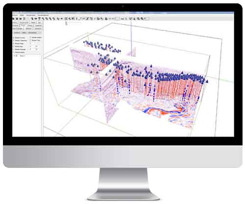
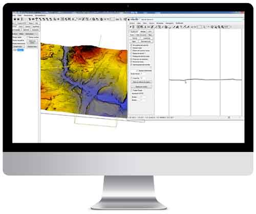
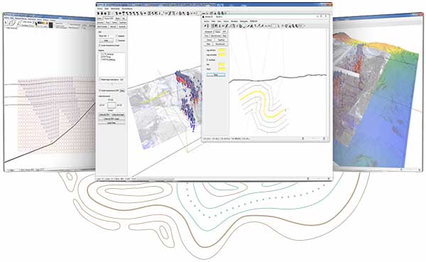
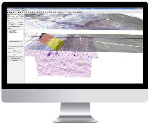
Handle digital topographies, raster images, 2D and 3D seismic, well information, vector maps, surface and subsurface structural information. You can organize information linking to external files.
Unify 3D and 2D visualizations of sections and maps.
Real-time update between 2D and 3D windows, always keeping the pointers linked. This allows the creation of realistic models with all the information at a glance.
It has assisted drawing tools for the construction of balanced sections.
Andino3D projects topographic, structural, and well information, using it to interpret structural geometry. Based on selected structural data, enables automatic construction and subsequent editing of axial surfaces. It allows the use of forward modeling implementing trishear, inclined shear and fault parallel flow algorithms.
It works with vertical and overturned grids and surfaces.
Andino3D allows the generation of grids from seismic information, wells, surface data and various geophysical sources
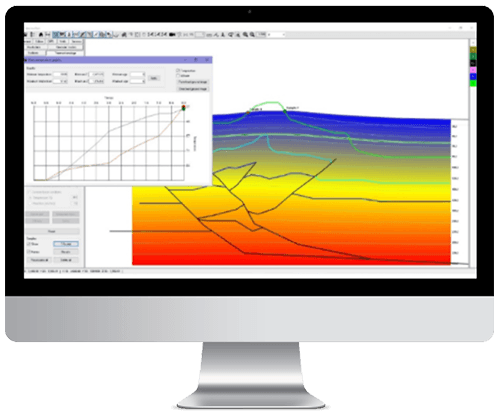
Thermal and structural modeling
Andino 3D 2.0 incorporates the development of finite element models with thermal properties, allowing to integrate and simulate low temperature thermochronology data (fission tracks and (U-Th-Sm)/He) and thermal maturity indicators (VR, %Ro) to simulate the evolution of structural reconstructions over time.
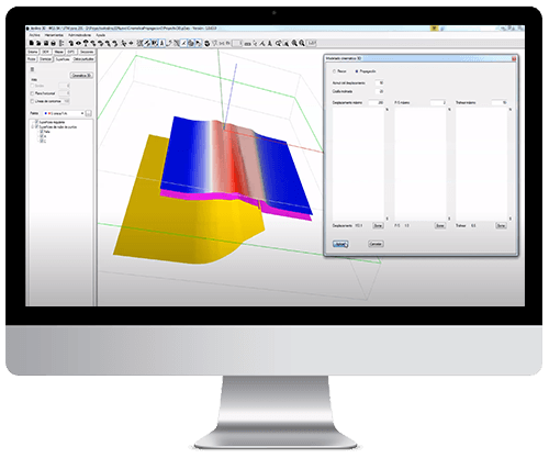
3D Kinematic models
Andino 3D 2.0 allows building forward or backward 3D models of both fault-bend-folding and fault-propagation-folding, enabling strike-along variations of fault properties such as displacement, P/S value (propagation/slip ratio), trishear angle, etc., and permitting oblique components of the faults.
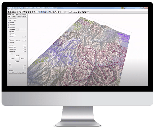
Tectonic Geomorphology Analysis
Andino 3D 2.0 enables the development of automatic calculations of hydrography and hydrographic basins, calculations of river profiles with slopes, sinuosities and identification of knick-points, and topographic volume calculations.
Learn more about Andino3D
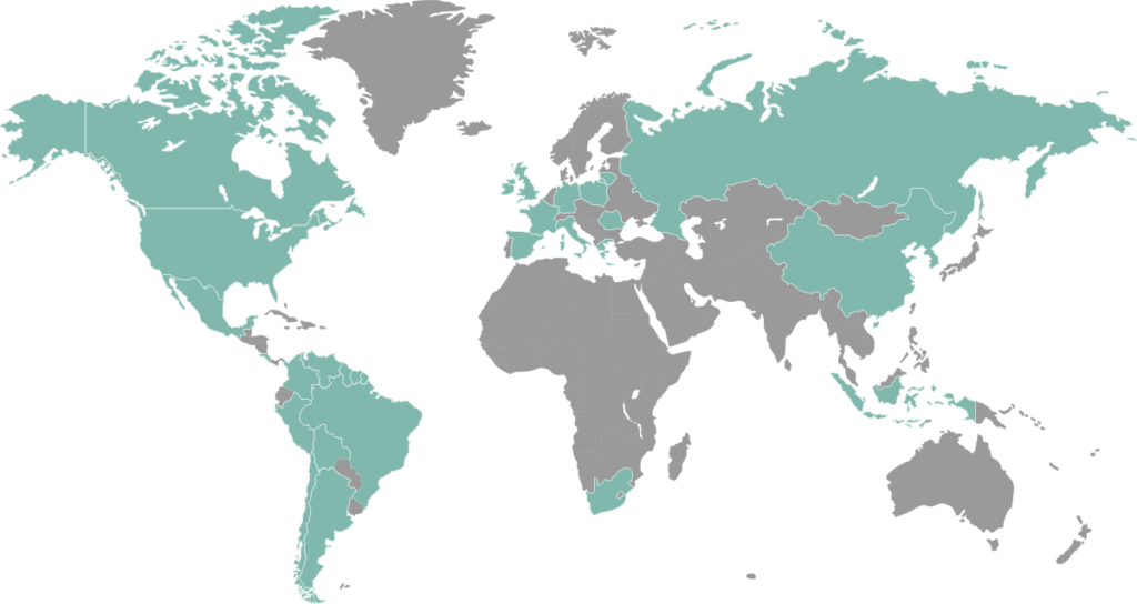
Versatility and applications for structural solutions.
Download a brochure with all the technical information you’re looking for: