It allows the integration of geological and geophysical information.
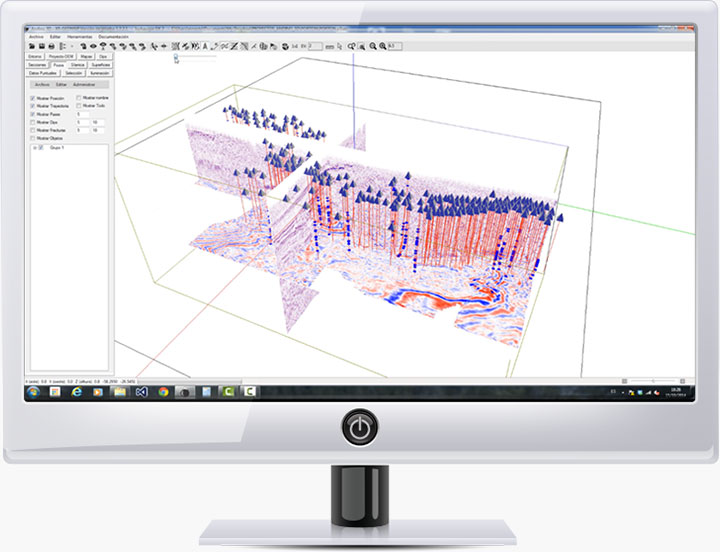
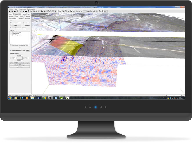
Handle digital topographies, raster images, 2D and 3D seismic, well information, vector maps, surface and subsoil structural information. You can organize information linking to external files.
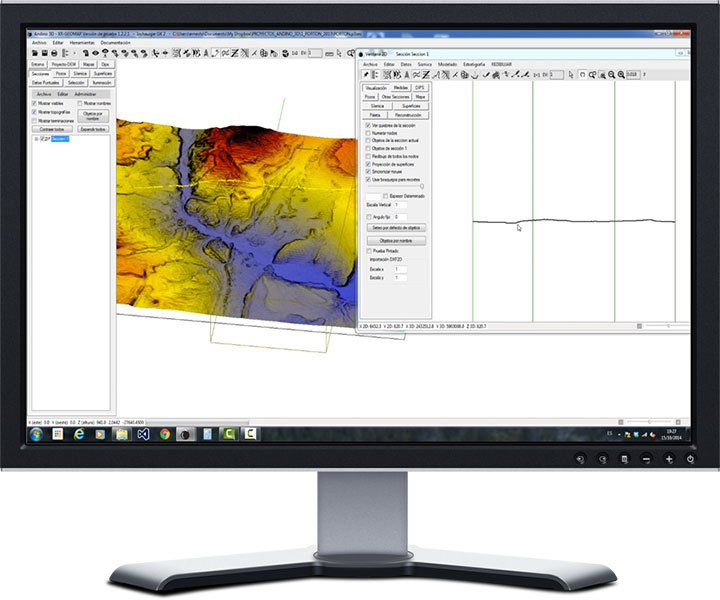
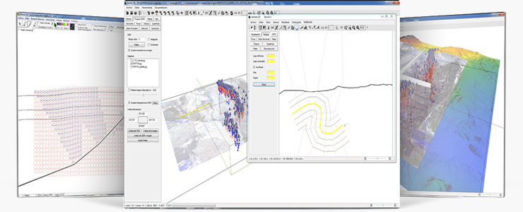
Unify 3D and 2D visualizations of sections and maps.
Real-time update between 2D and 3D windows, always keeping the pointers linked. This allows the creation of realistic models with all the information at a glance.
It has assisted drawing tools for the construction of balanced sections.
Andino3D projects topographic, structural, and well information, using it to interpret structural geometry. It allows the use of forward modeling implementing trishear, incline shear and fault parallel flow algorithms.
It works with grids and vertical or tipped surfaces.
Andino3D allows the generation of grids from seismic information, wells, surface and various geophysical sources.
Developed by:
With the support of:
With the collaboration of:
Contact
La.Te. Andes S.A. www.lateandes.com
Las Moreras 510 – Vaqueros
Tel/Fax: +54 387 4363600 / 4363400
[A4401XBA] Salta Argentina info@lateandes.com